Reliable & Sustainable Water Engineering Solutions
Advanced Hydrologic, Hydraulic, Hydrographic & Morphological Engineering Services for a Resilient Future.
Pioneering Water Intelligence Since 2010
AHYDTECH combines innovation, precision, and efficiency to solve complex water resource challenges—helping build a sustainable future for Bangladesh and beyond.
We believe in excellence and innovative thinking. Our goal is to use global experience to manage Bangladesh's water resources effectively, protecting the environment and building reliable infrastructure for everyone.
Established in 2010 by Dr. Bahar SM, AHYDTECH Geomorphic Ltd. emerged as a leading consultancy in Water Resources Engineering, Environmental Science, and Fluvial Geomorphology. With Dr. Bahar's extensive 28-year tenure, the company has executed over 70 coastal engineering projects primarily along the Great Lakes of Ontario.
Our portfolio boasts collaborations with prominent conservation authorities and municipalities. Bangladesh operations have since grown to deliver transformative projects across rivers, coasts, wetlands, and hydraulic infrastructure.
Dr. Bahar SM
Founder & Managing Director
28+ years in Water Resources Engineering | PhD | International Expert
Our Journey
AHYDTECH Geomorphic Ltd. established in Canada by Dr. Bahar SM
AHYDTECH Water Resources BD Ltd. launched Bangladesh operations
Expanded to 30+ senior engineering professionals
Advanced drone & LiDAR survey fleet acquired
Vision & Mission
Precision Engineering
State-of-the-art tools combined with 28+ years of expertise for high-accuracy deliverables.
Innovation-Driven
Integrating cutting-edge hydrodynamic models and digital survey technologies.
Quality Assurance
International-standard methodologies and rigorous quality control processes.
Sustainable Impact
Engineering resilient water infrastructure that harmonizes development with nature.
Specialized Engineering Capabilities
Comprehensive water resources solutions from hydrodynamic modeling to precision field surveys — all under one roof.
Hydrologic & Hydrodynamic Modeling
River, Canal, Wetland & Coastal Waterbodies
Advanced 1D/2D hydrodynamic modeling to simulate flood dynamics, water levels, velocity fields, and bed shear stress for risk assessment and infrastructure design.
Sediment Transport & Morphological Analysis
River Migration, Bank Erosion & Channel Stability
Comprehensive assessment of riverbed dynamics, sediment load, channel migration patterns, and morphological stability for navigation and infrastructure protection.
Hydro-Morphological Study
Bridges, Culverts, RTWs & Water Crossing Structures
Site-specific hydraulic and morphological studies for bridges, road culverts, and river training works — delivering design parameters and scour depth analysis.
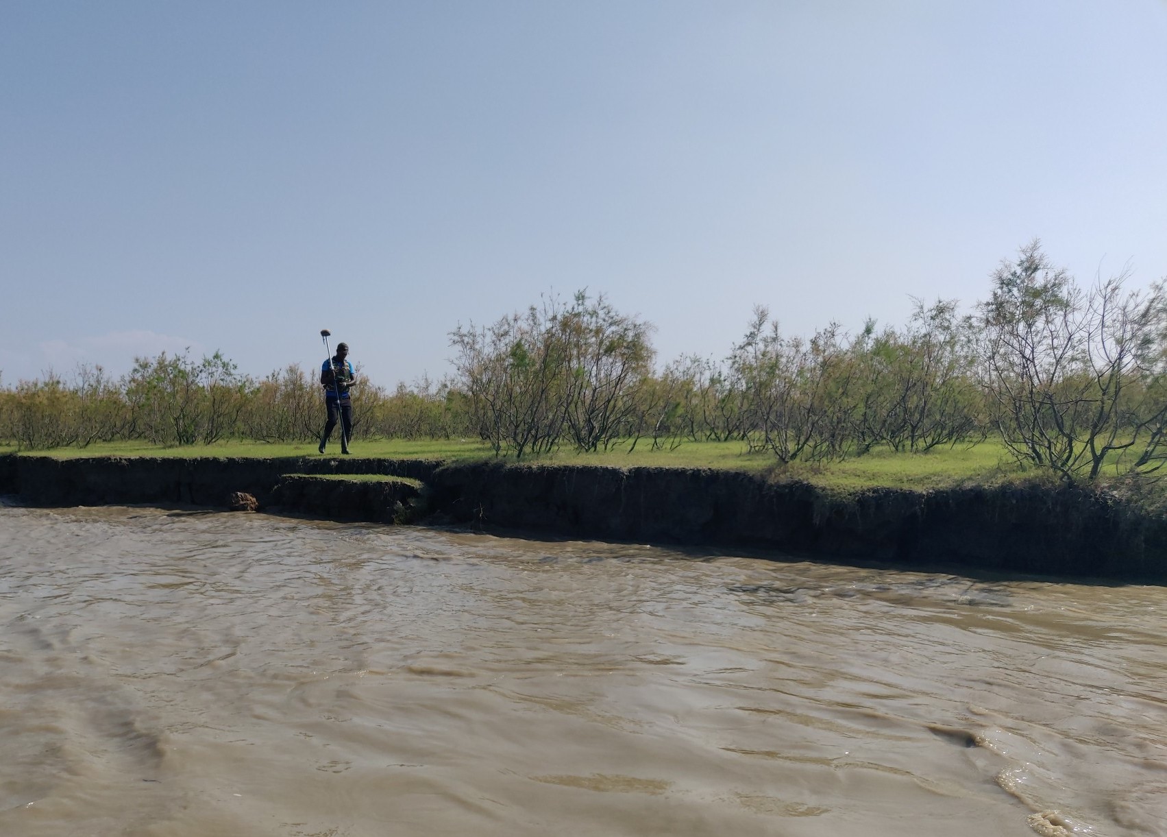
Topographic, Drone, LiDAR & Hydrographic Survey
RTK GNSS, Multi-beam Sonar & Aerial Photogrammetry
End-to-end precision survey services combining drone-based LiDAR, multi-beam sonar bathymetry, ADCP discharge measurement, and RTK ground control.
Coastal & Groundwater Modeling
Coastal Hydrodynamics, Storm Surge & Aquifer Analysis
Specialized modeling of coastal wave dynamics, storm surge propagation, tidal interaction, and groundwater flow systems for coastal protection and resource management.
Advanced Field Technology
State-of-the-art survey instruments for precise topographic, aerial, and hydrographic data acquisition.
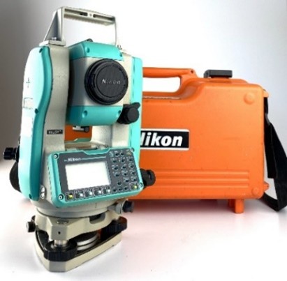
Specifications
Nikon DTM 322 Total Station
Topographic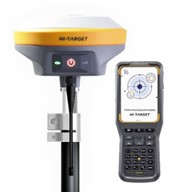
Specifications
HiTarget V90 Plus GNSS RTK
Topographic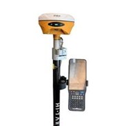
Specifications
HiTarget V500 Plus GNSS RTK
Topographic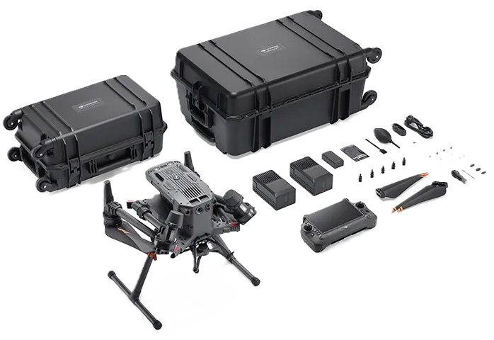
Specifications
DJI Matrice 350 RTK
RTK & Drone & LiDAR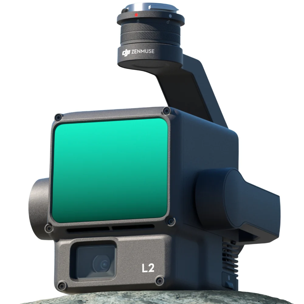
Specifications
DJI Zenmuse L2 LiDAR
RTK & Drone & LiDAR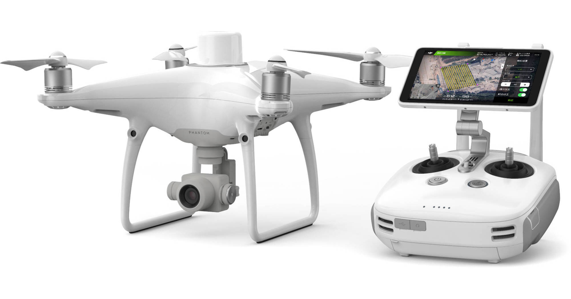
Specifications
DJI Phantom 4 RTK
RTK & Drone & LiDAR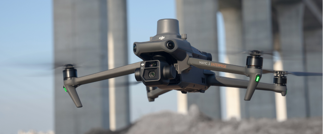
Specifications
DJI Mavic 3E RTK
RTK & Drone & LiDAR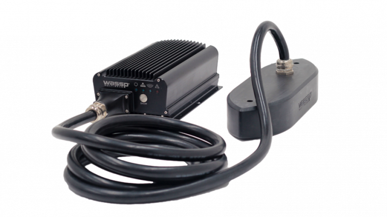
Specifications
WASSP S3 Multi-beam Sonar
Bathymetric
Specifications
SonTek River Surveyor M9
Bathymetric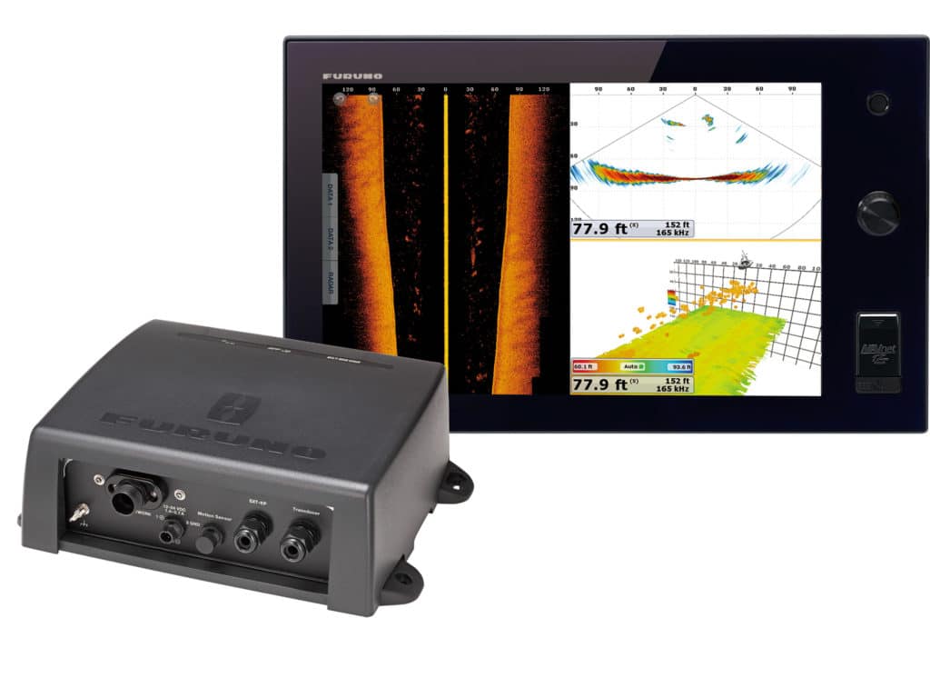
Specifications
Furuno TZtouch3 + DFF3D
Bathymetric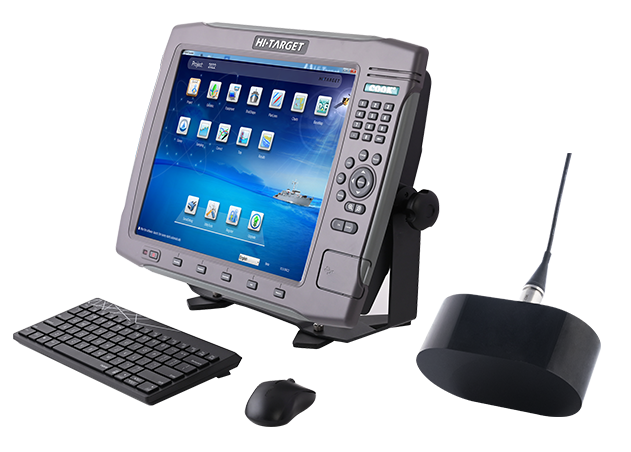
Specifications
HI-Target HD-MAX Echo Sounder
Bathymetric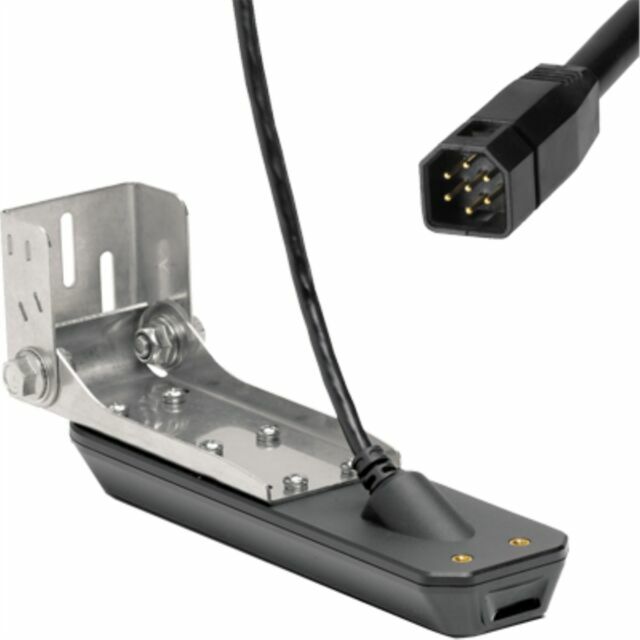
Specifications
Humminbird HELIX MSI+
Bathymetric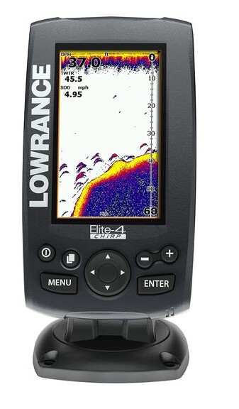
Specifications
Lowrance Elite-4 CHIRP
Bathymetric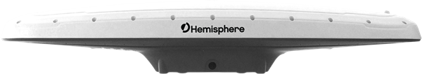
Specifications
Hemisphere V500 GNSS Antenna
Bathymetric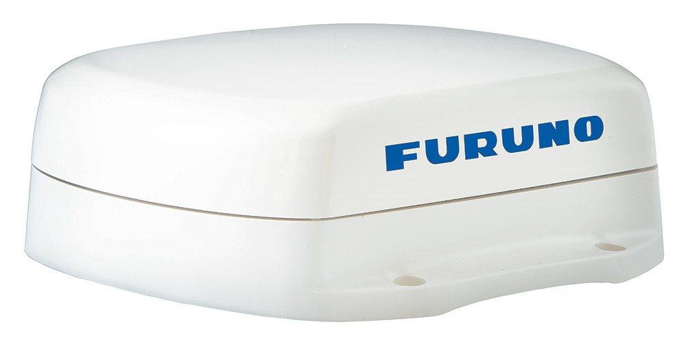
Specifications
Furuno SCX20 Satellite Compass
Bathymetric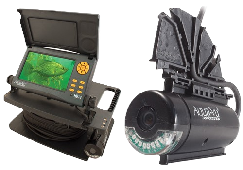
Specifications
Aqua-Vu HD7i Pro
BathymetricSoftware & Simulation Platform
Industry-leading simulation tools across all water engineering disciplines — from hydrologic modeling to coastal hydrodynamics.
Hydrodynamic & Sediment
Hydraulic Modeling
Hydrologic Modeling
Groundwater Modeling
Coastal Modeling
Featured Projects
A portfolio of transformative water engineering, survey, and research projects delivered across Bangladesh.
Development of Hydrological Models (HEC-HMS) for Three Major Basins
HEC-HMS hydrological models developed for Brahmaputra, Ganges and Meghna basins to support flood forecasting and water resources planning.
Swarno Dweep Development Project
Hydromorphological and hydrodynamic study supporting coastal island development planning.
Feasibility Study — Paturia to Baghabari Navigability (Class-I)
Comprehensive feasibility study for improving the Paturia–Baghabari navigation route to Class-I standard for BIWTA.
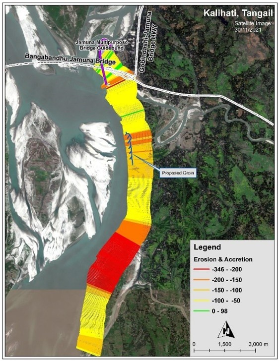
Jamuna River — Riverbank Protection & River Training (Component 1)
Due diligence support for riverbank protection and river training design under the Jamuna River Sustainable Management Program (P172499).
Bangladesh Delta Plan — Project Prioritization & Financing (BWP 3.0)
Project prioritization, financing plan and medium-term results indicators for the Bangladesh Water Platform 3.0.
Jamuna River — Financial Protection Study (Component 3)
Due diligence for financial protection component of the Jamuna River Sustainable Management Program.
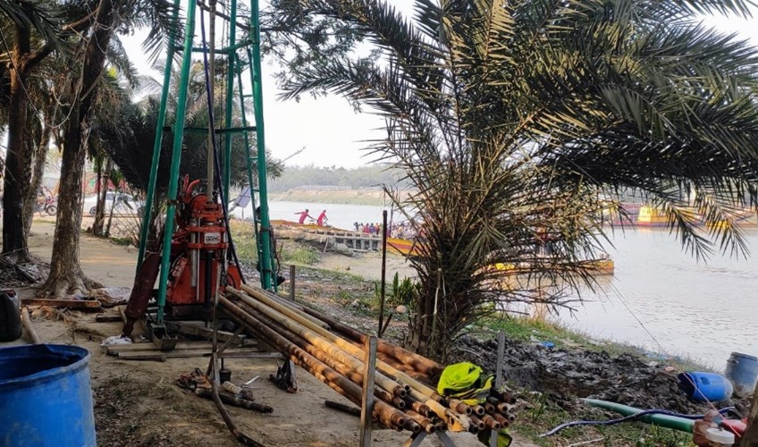
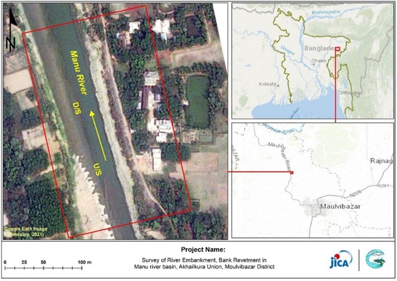
Survey of River Embankment — Manu River Basin, Moulvibazar
Survey of river embankment and bank revetment under Sustainable River Related Infrastructure investigation study, JICA project.
Bangladesh Country Climate and Development Report (Deep Dive Analysis)
Deep dive analysis on Delta Plan resilience and prosperity for the Bangladesh Country Climate and Development Report (P176757).
Underwater Riverbed Sonar Survey — Meghna River, Chandpur
Hydrographic survey with underwater riverbed scanning for riverbank protection work monitoring at Horina Ferryghat.
Riverbank Erosion Monitoring — CEIP-1 Environmental Mitigation Works
Riverbank erosion monitoring for environmental mitigation works under CEIP-1/W-02 project.
Hydrodynamic Modelling of Bay of Bengal — Chittagong Bay Terminal
Coastal hydrodynamic modeling of the Bay of Bengal to support the Chittagong Bay Terminal Project planning.
Transfer of Global Knowledge — Jamuna River Navigation Infrastructure
Knowledge transfer for improved terminal navigation infrastructure and green shipping under Jamuna River SMP-2.
Hydrology & Morphological Study of Jhenai River — Bridge Design, Jamalpur
Hydraulic parameters for road embankment and three bridge structures on Digpait–Sarishabari–Tarakandi Road (Z-4023).
Comilla Highway — Land Acquisition & Detailed Topographic Survey
Detailed topographic survey and map preparation for land acquisition along Comilla Highway Route 64.
Hydrographic Data Collection — BIWTC Capacity Strengthening (PPA)
Bathymetric survey and water level data collection at selected BIWTC locations for PPA capacity strengthening project.
Flow Direction Map — Uttara Drainage Canal, DNCC
Levelling survey and flow direction mapping for drainage canal design covering Uttara Sector 4 and CAAB Colony.
Topographic Survey — Intelligent Water Treatment Plant, Mymensingh
Pre-feasibility topographic survey for the Intelligent Water Treatment Plant (IWTP) in Mymensingh.
Topo & Bathy Survey — CAAB Colony Canal Hydraulic Modeling
Topographic and bathymetric survey for hydraulic modeling of the Southern CAAB Colony canal drainage system.
Topo & Bathy Survey — HSIA Drainage System Hydraulic Modeling
Survey for hydraulic modeling of the Hazrat Shahjalal International Airport drainage system.
Topo & Drone Survey — Bangabandhu Sheikh Mujib Shilpa Nagar (BSMSN)
Topographic and drone survey along the BSMSN corridor for the Water Supply Feasibility Study Project.
Topo & Bathy Survey — Gandhabpur Water Treatment Plant Pipeline
Topographic and bathymetric survey for the intake pipeline alignment of Gandhabpur Water Treatment Plant.
Drone Data Collection — 6 Upazilas for Updated Upazilla Masterplan
Drone data collection and processing covering 6 Upazilas of Bangladesh for updating the Upazilla Masterplan.
Dredged Material Disposal Study — Bogura–Kaliakair 400kV Transmission Line
Dredged material disposal management study for the Jamuna River crossing of the 400kV double circuit transmission line.
Hydrodynamic & Morphological Study — Jamuna Floodplain, Jamalpur–Sirajgonj
Hydraulic parameter determination for proposed road embankment and hydraulic structures in the Sarishabari–Kazipur Upazila area.
Riverbank Erosion Monitoring — Sangu River, Chittagong
Riverbank erosion monitoring survey of the Sangu River to support dredging study requirements.
Bathymetric Survey — Kutubdia Channel, Karnaphuli Navigational Channel
Strategic hydrodynamic and morphological master plan study for Karnaphuli navigational channel and southern coastal area. Ongoing.
Jamuna–Brahmaputra Natural Channel Design for Flood Control
Research on natural channel design for flood control, bank erosion protection, navigation improvement and land reclamation.
Large Scale Integrated Hydrologic & Hydraulic Assessment — Meghna Basin
Comprehensive integrated hydrologic and hydraulic assessment of the entire Meghna Basin. Ongoing.
Groins-in-Series Riverbank Erosion Mitigation — Jamuna River (TUFLOW 2D)
Evaluation of different groins-in-series combinations using 2D hydrodynamic and sediment transport modeling (TUFLOW).
Showing 29 of 29 projects
Our Valued Clients
Trusted by leading national and international organizations — from government agencies to global development partners.


The AHYDTECH Advantage
What sets us apart as Bangladesh's leading water resources engineering consultancy.
Expert Team
30+ senior professionals and 15+ junior/mid-level engineers specializing in water resources disciplines.
Comprehensive Services
Full-spectrum from hydrodynamic modeling to construction supervision — all under one firm.
Advanced Software
25+ industry-leading simulation tools: HEC-HMS, TUFLOW, MIKE 21, ADCIRC, MODFLOW, and more.
Cutting-Edge Equipment
RTK GNSS, multi-beam sonar, LiDAR drones, and ADCP — latest generation survey technology.
Proven Track Record
Over 100 successfully completed projects since 2017 across rivers, coasts, and wetlands of Bangladesh.
Innovation Culture
Continuously adopting next-generation methodologies and digital engineering workflows.
Client Collaboration
Transparent communication, regular reporting, and collaborative project management approach.
Quality Assurance
International-standard QA/QC processes ensuring accuracy and reliability at every deliverable.
Full Project Management
From feasibility study to construction supervision and post-project evaluation.
Strategic Location
Modern office in Dhaka DOHS with efficient resource deployment across Bangladesh.
Ready to engineer water solutions that last a generation?
Partner with Bangladesh's most advanced water resources engineering team.
Build Your Career in Water Engineering
Join a team of passionate engineers shaping Bangladesh's water future with cutting-edge technology and science.
Senior Hydraulic Engineer
Lead hydrodynamic modeling projects and mentor junior engineers on advanced flood simulation workflows.
Hydrographic Survey Specialist
Plan and execute bathymetric surveys using multi-beam sonar and ADCP across Bangladesh's major rivers.
Drone / LiDAR Survey Operator
Operate drone-based LiDAR and photogrammetry missions for topographic mapping and DEM generation.
GIS & Remote Sensing Analyst
Develop spatial analysis workflows, flood hazard maps, and geodatabase management for engineering projects.
Don't see a role that fits?
We're always looking for talented engineers and scientists. Send us your CV and we'll be in touch.
Send Your CVRequest a Consultation
Discuss your water engineering challenge with our expert team. We'll provide tailored solutions and a project proposal.
Contact Information
Office Address
2nd Floor, House # 487, Road # 32,
New Mohakhali DOHS,
Dhaka-1205, Bangladesh
Phone
+88 01707009517