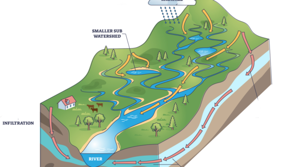
Watershed/Subwatershed Plan
Comprehensive and integrated approach to provide sustainable watershed management, stream restoration plans and potential risks mitigation through surveying, feasibility study, engineering analysis and modeling.
Read More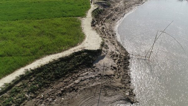
Flooding and Erosion Hazard Assessment
Professional services using statistical analysis and numerical modeling approaches to assess the potential risk, exposure and vulnerability due to flooding and erosion hazard, proposing structural and non-structural adaptive measures including cost-benefit analysis, stakeholder consultation community engagement etc.
Read More
River Morphology & Drone Aerial Survey
Extensive experiences in Channel restoration, Erosion & Sediment Control, Analysis of Dredging Requirements, Natural Channel Design, Riverbank Protection, Meander Belt Width Assessment and Bankfull Analysis to determine the Hazard Limit and so on.
Read More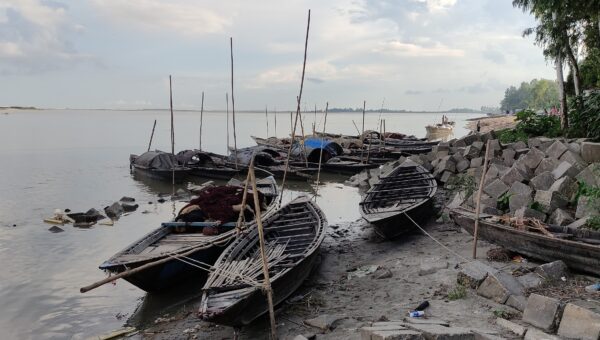
Sediment & Morphological Modeling
Capacity in 2D/3D mathematical modeling for river, lakes, estuaries and coastal zones to understand and predict Sediment Transport & Morphological phenomena, analyze the impact of the changes, to explore different scenarios of interest, such as sediment supply, land use, engineering interventions, climate change etc.
Read More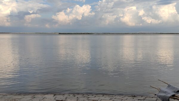
Floodplain Mapping
Specialization in identifying and delineating Floodplain Limits, Flood Hazard Mapping and Flood Risk Assessment in flood prone areas for developing better Floodplain Management strategies at home and abroad.
Read More
Environmental Assessment
Experiences in Environmental Impact Assessment, Hazard Assessment following the Municipal Class Environmental Assessment (EA), Environmental and Social Consulting including classification and prioritization of hazardous area, climate change and resilience etc.
Read More
Groundwater and Surfacewater Study
Competent skill in performing Groundwater and Surface water studies such as Groundwater Stress Scenario Analysis, Area-wise Water Budget Analysis, Surface Water analysis using numerical simulations, Soil and Water Assessment Tools etc.
Read More
Hydrology and Hydraulic Modeling
Innovative techniques and solution through the application of hydrologic and hydraulic models to make more accurate predictions and to face the major challenges in water resources management.
Read More
Coastal Engineering Analysis
Expertise in Coastal Morphology Assessment, Slope Stability Analysis, Flood and Erosion Hazard Limit Delineation by Wind-Wave Frequency Analysis, Wave Uprush Analysis, Shoreline Recession Analysis etc. as well as providing Design of various types of Shoreline Protection Structures as per requirement.
Read More