Project Overview
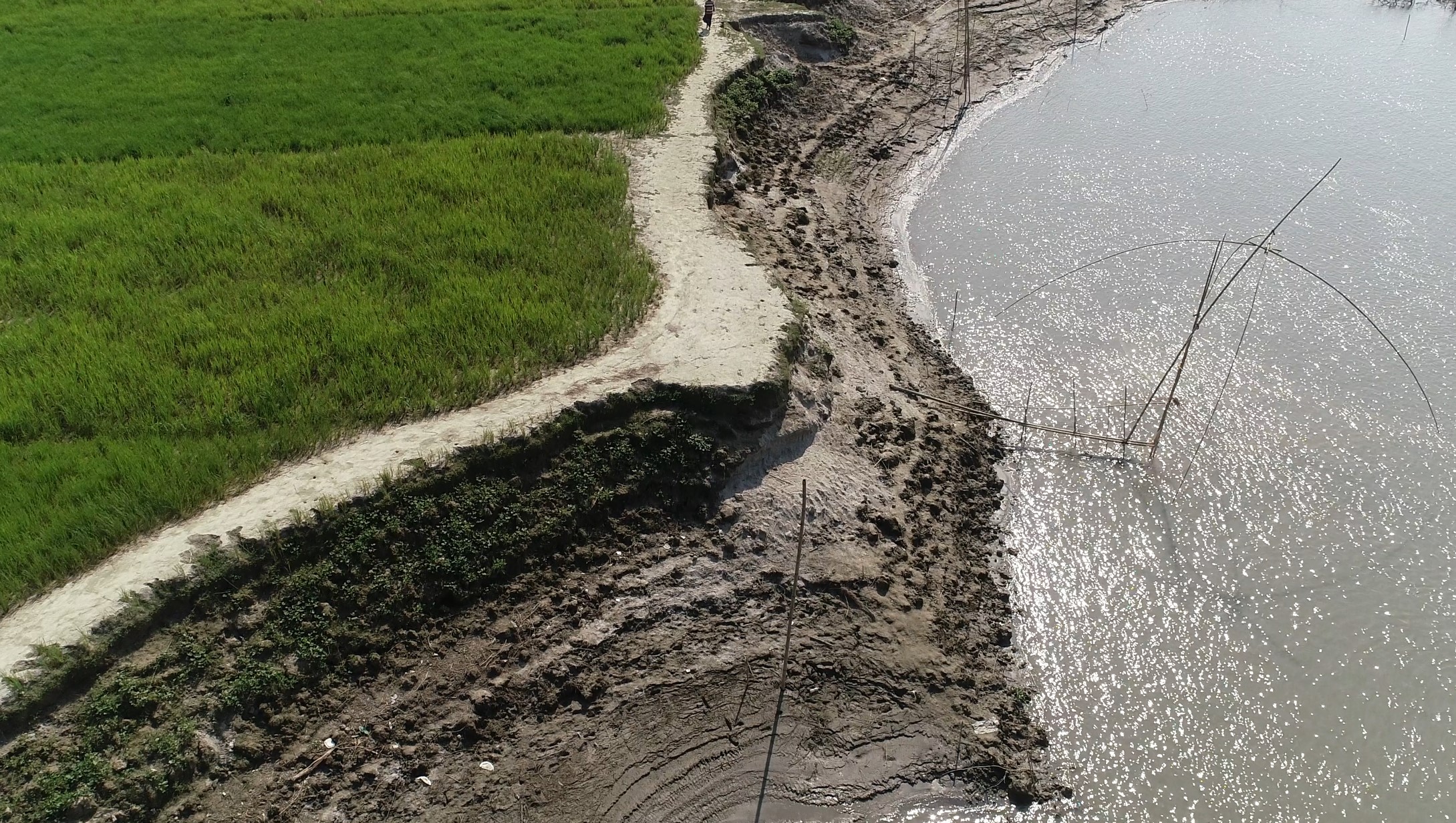
Floodplains are dynamic landscape features that provide a wide range of ecosystem services that benefit our local communities. Historically, floodplain areas have also been desirable locations for agriculture, transportation infrastructure and land development projects that are susceptible to flood and erosion damages. Ahydtech provides technical assessments to give an informed understanding of the potential consequences of flooding and erosion hazards that affect existing infrastructure or environmentally sensitive areas.
Planning
satisfied Service
Dedicated Team
Benefits of Service
There are many variations of passages of Lorem Ipsum available, but the majority have suffered alteration.
There are many variations of passages of Lorem Ipsum available, but the majority have suffered alteration.
There are many variations of passages of Lorem Ipsum available, but the majority have suffered alteration.
There are many variations of passages of Lorem Ipsum available, but the majority have suffered alteration.
How It Works?


